Where is Hobo Hills in Amarillo? It Depends On Who You Ask
What do you know about Amarillo's Hobo Hills?
Depending on who you ask, the location will vary, but the description tends to remain the same: a secluded, hilly space hidden away within the city limits. By its own definition, it's a prime spot for transients to camp (in groups or separately) and where teenagers and young adults like to go explore.
There has always been a Hobo Hills in this town, and I guarantee you--you or somebody you know has a wild story about a night spent out in the hills.
So, Where's the Real Hobo Hills?
I've noticed that each generation has a particular area of Amarillo that they know as Hobo Hills. And no, it is not the bike trails that are tucked away by Medi-Park on 9th Ave. Those are officially called the 9th Ave Trails and are maintained by a completely legit organization of bike enthusiasts.
I'm not sure how or when those trails took on the name, but I can certainly show you where the "real Hobo Hills" of Amarillo lore once were.
Hobo Hills: 46th & Washington St
This was the Hobo Hills I grew up hearing about. It was between the Southlawn neighborhood and the reservoir off 46th and Washington before it was developed.
A former boyfriend of mine once told me a hair-raising tale of a night he and several his friends explored the area at night and found themselves followed by a band of scraggly men who absolutely had ill intentions.
Hobo Hills: No-Man's Land by Attebury Grain
Just down the way from the previous Hobo Hills is another one.
I've heard people who grew up in the 1980s say this is what they knew as Hobo Hills. it's located in the odd stretch of No Man's Land out by Attebury Grain.
Hobo Hills: The Old Ice House Downtown
This one is a lesser-known Hobo Hills, but there are locals who definitely mean this place when they refer to it. It's located in an easement, right where the train tracks intersect in Downtown Amarillo.
Hobo Hills: The Original Site
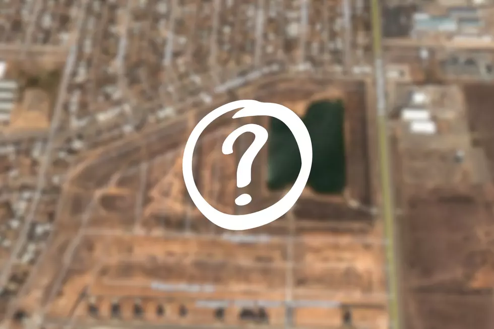
Not only is this the original Hobo Hills of Amarillo, it's where the town itself was originally located. This is a playa lake that was also called Wild Horse Lake. Back when Amarillo was first founded and called Oneida, they started to build right smack dab in the middle of that area you see above.
The townsfolk moved to higher ground, but Hobo Hills remained.
In fact, if you browse the historical view of satellite imagery of Wild Horse Lake, you'll catch sight of some oddly impressive impromptu structures that come and go.
LOOK: The Enigmatic Art Oddity of Cookie Time
Gallery Credit: Sarah Clark
Take A Quick Look Inside One Of Palo Duro Canyon's Caves
Gallery Credit: Charlie Hardin
